You Pressed SOS. Now what?
The SOS button does not call a helicopter on the spot, by itself. It sends an alert into a process that must get the information to the people responsible for coordinating help. The route depends on what you are carrying: a phone with satellite SOS, a satellite messenger, or a personal locator beacon. Understanding that difference helps explain what happens after you press the button—and what it cannot promise.
What you really need is the closest, fastest person next to you that can assist, help while the rescue service operation is in place. A proximity SOS network and communication channels.
The short answer
An SOS alert is not the same as a rescue being dispatched. Each system has a way to route your distress message to the appropriate emergency service or response coordinator, but the route differs by device.
A phone may send a text directly to a supported emergency service or through a relay centre. A satellite messenger typically contacts a dedicated response coordination centre. A 406 MHz personal locator beacon sends a distress alert through the Cospas-Sarsat satellite system to the relevant search-and-rescue authorities.
In every case, the alert is only the beginning. The response depends on your location, the information available, local resources, weather and conditions on the ground.

If you press SOS on your phone
Your phone may try an ordinary emergency call first. If that cannot connect and satellite SOS is supported on your device and in your location, you may be able to contact emergency services by satellite text.
On supported iPhones, you answer a short emergency questionnaire and follow the on-screen instructions to connect to a satellite. Apple says the information sent can include your answers, your location including elevation, your battery level, and your Medical ID and emergency contacts if you have set them up. Depending on the region and how emergency services receive messages, the information may be routed directly to an emergency service or through an Apple relay centre.
Google’s Satellite SOS is available on Pixel 9 and later models, in supported countries. Availability and connectivity depend on the device, software, location and local service support. Do not assume it works on every model or everywhere you travel.
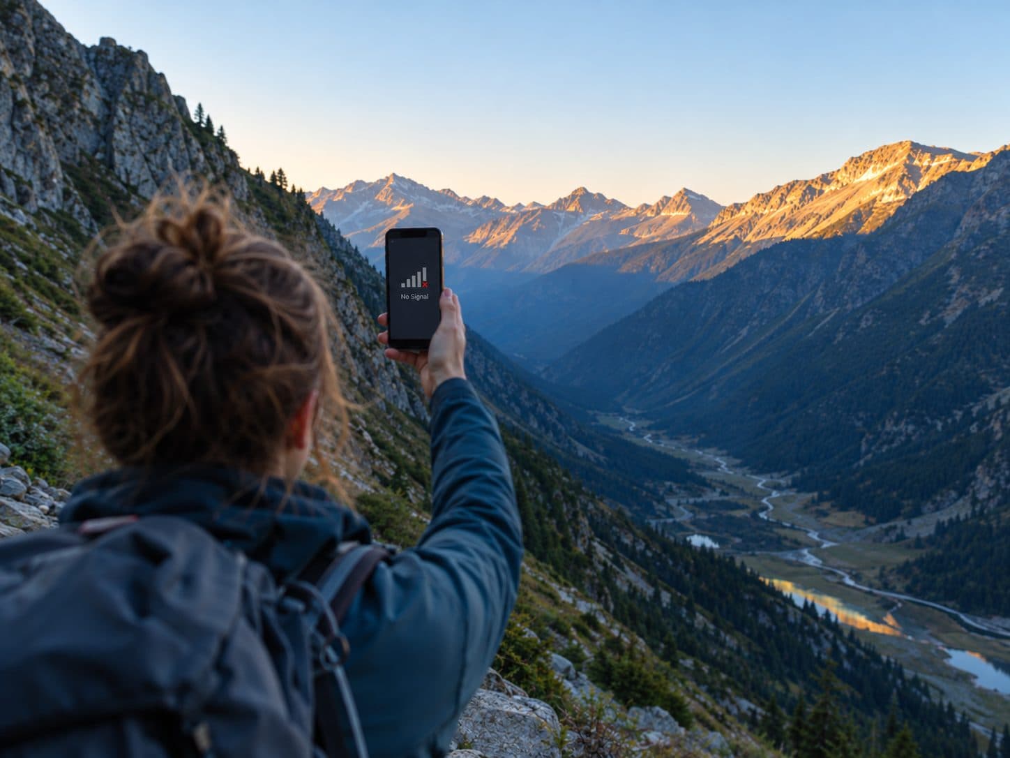
The physical limits matter. A phone needs a sufficiently clear view of the sky to connect to a satellite. Trees, cliffs, buildings and other obstructions can delay or prevent a connection; message delivery can take longer than an ordinary cellular text.
If you press SOS on a satellite messenger
Devices such as Garmin inReach, ZOLEO and SPOT use their own service arrangements to pass an SOS to a response coordination provider. The providers and exact procedures differ, so it is more accurate to describe each company’s process separately than to assume that all three work identically.
Garmin says its Garmin Response centre receives the alert and location, attempts to establish contact with the person in distress, and coordinates with the appropriate local emergency services. It may also contact the emergency contacts listed in the user’s profile. Garmin’s inReach documentation states that a response can still be initiated if the user does not reply.
For supported inReach devices, the device can continue sending updated positions after an SOS. The update schedule depends on the device and its documentation; check the manual for your specific model rather than assuming one interval applies to every inReach.
ZOLEO describes its SOS service as working with Global Rescue to receive the alert and location and contact the appropriate authorities. SPOT identifies FocusPoint International as its monitoring provider. Check each provider’s current terms and support documentation for the latest details.
If you activate a personal locator beacon
A personal locator beacon (PLB) uses the 406 MHz distress-alert system coordinated internationally by Cospas-Sarsat. When activated, the beacon transmits a coded distress signal. Satellites relay the signal to ground stations, and the alert is processed and routed through mission control to the appropriate search-and-rescue authority or rescue coordination centre.
Registration helps authorities identify the beacon and its registered owner and contact details. It can help them assess an alert and organise an appropriate response more efficiently. Registration rules depend on the country and the beacon’s country code. In the United States, applicable US-coded 406 MHz beacons must be registered with NOAA; NOAA registration is free.
A standard PLB is primarily a distress-alerting device, not a two-way messaging service. Beacons compatible with the Galileo Return Link Service can show a confirmation that the distress signal has been located and rescue services informed. That confirmation does not mean a rescue has already been organised or launched.
The system detected its first distress signal in September 1982, from a plane crash in northern British Columbia; three survivors were rescued.
What no button can promise
- A rescue time. There is no universal response-time guarantee. Each incident depends on location, weather, access, available resources and the nature of the emergency.
- A particular rescue method. The responsible rescue organisation decides how to respond, which may involve ground teams, boats, aircraft or other resources.
- A free rescue. Costs and who pays vary by jurisdiction and circumstances. A device subscription generally pays for the service specified by its provider; it should not be taken as a guarantee that any physical rescue or evacuation will be free.
- A guaranteed outcome. A service can transmit an alert and coordinate with authorities, but it cannot guarantee that a rescue, response or evacuation will be possible.
Six things to do before you leave
- Set up your phone. On a supported iPhone, complete your Medical ID and add emergency contacts. Try the satellite SOS demo where available; the demo does not contact emergency services.
- Check coverage and compatibility. Confirm that satellite SOS is supported on your exact phone model, in your destination and with your current software.
- Check your messenger plan. Confirm the subscription and SOS service requirements for your specific device and provider.
- Update your profile. Add current emergency contacts and make sure the contact details and other profile information are accurate.
- Register your PLB. Register it with the appropriate national authority for its country code, and keep the details up to date. For US-coded beacons, NOAA registration is required and free.
- Know what to do after activation. Move to a location with a clear view of the sky if it is safe to do so. If you trigger an SOS by mistake, do not simply switch the device off or end the session: follow the provider’s instructions and tell the responder that help is not needed.
Where Zorya, the Outdoor Aficionados hybrid communication device comes in
A rescue alert may be raised by the person carrying a device—or by someone who sees another hiker in trouble. That is one reason we are developing Zorya: to explore how nearby people could be alerted while a formal rescue response is being coordinated.
Zorya is currently in pre-production. Our intended design includes proximity SOS alerts to other hikers, with a target range of up to 15 km depending on terrain, and ways to reach selected contacts through a mesh between beacons, a mobile connection or satellite. These are development-stage specifications, actual performance will depend on the final hardware, network availability, terrain, obstructions and testing.
A monitored response centre is also part of the plan. Before the device ships, we will publish who operates that service, how an SOS is routed, what information is shared, and what users can and cannot expect. Until those details and the product’s performance are validated, Zorya should not be treated as a substitute for an established emergency communication device, we are in the final field test phase, pre-production stage.
Sources — direct official references
- Apple Support — Use Emergency SOS via satellite on your iPhone
- Apple Support — Use Emergency SOS via satellite on your iPhone 14 or later
- Apple Support — Connect to a satellite with your iPhone
- Google Pixel Help — Get emergency help through satellite with your Pixel phone
- Garmin — Get to Know Garmin Response
- Garmin — inReach Mini 2 manual, Initiating an SOS Rescue
- ZOLEO — How SOS Works
- ZOLEO Support — SOS Contacts: What to Expect During an SOS
- SPOT Support — What happens if I press the SOS button? (SPOT X)
- NOAA SARSAT — 406 MHz Emergency Distress Beacons
- NOAA SARSAT — Register your beacon
- NOAA SARSAT — Beacon registration brochure
- NOAA SARSAT — History of the SARSAT program
- EUSPA — Galileo SAR Return Link Service celebrates five years of saving lives (5 Feb 2025)
- Cospas-Sarsat — Official programme website